How to Fund Flood Mapping
Flooding poses significant risks to communities, and the effects can be widespread and last for years. Floodplain maps illustrate where floodwaters are expected to go, which makes them the most logical first step in flood management. To be effective, these maps also need to be updated regularly.
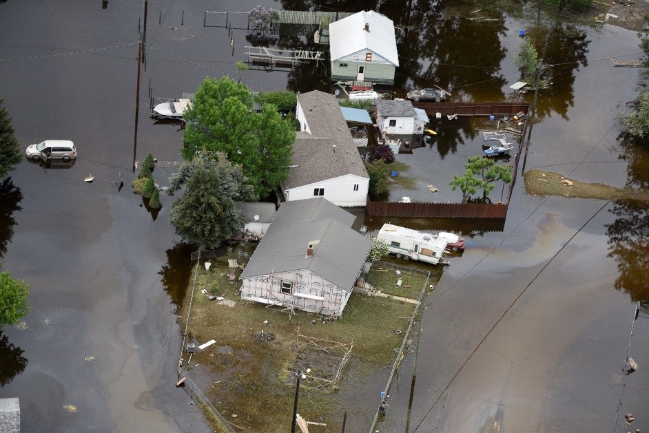
Unfortunately, there hasn’t been a coordinated program in BC to create and/or update floodplain maps for many years. Local governments are mainly responsible for flood management, and many of them simply don’t have the expertise or the resources.
Since 2015, federal and provincial government funding programs have helped many BC communities carry out flood mapping and related projects. However, those programs are short term, which means local governments have to be creative about their funding options, often using multiple strategies.
BCREA has put together a list of funding strategies local governments can use for their mapping projects in our Floodplain Mapping Funding Guidebookfor BC Local Governments. This resource is a great starting point for governments that are taking a proactive approach to land use decisions and emergency management.
To subscribe to receive BCREA publications such as this one, or to update your email address or current subscriptions, click here.
What we do
Popular tags within Advocacy
- COVID-19
- Commission
- Strata Properties
- Mortgages
- Professional Development Program
- Housing Affordability
Popular posts from BCREA
-
Housing Market Update – April 2024Apr 17, 2024
-
Mortgage Rate ForecastMar 25, 2024


